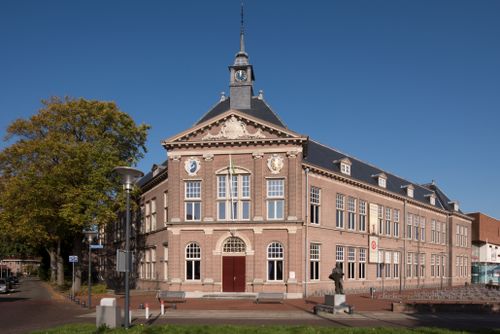
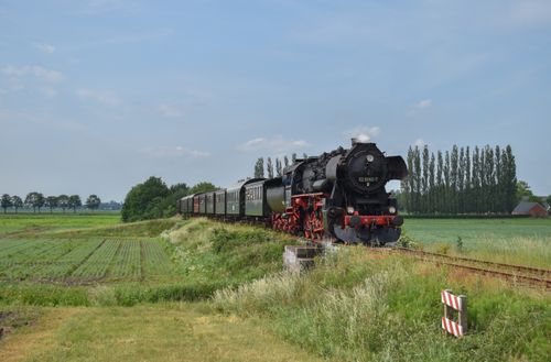
Through the veenkoloniën
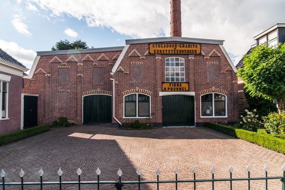
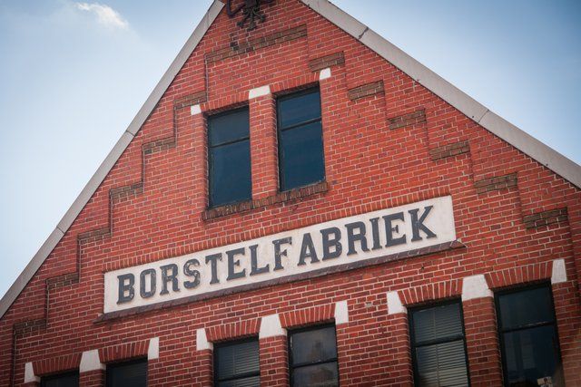
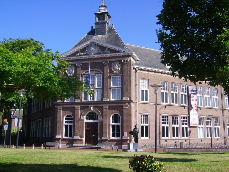
This expedition takes in the special history of the Veenkoloniën (peat district), with its straight canals that cut right through the countryside, infinite ribbon villages with beautiful farms and rich industrial heritage.
Not everyone immediately falls in love when they see the Veenkoloniën on their first visit to the region. This part of Groningen tends to draw a particular type of visitor. But if you give the Veenkoloniën some time, you are sure to become fond of it. For centuries, high moorland lay thick in this area. In the Middle Ages, people started cutting it for fuel: peat or turf. Later on, in the 19thcentury, the Veenkoloniën developed into the home of Groningen coastal trade and agribusiness. By then, turf huts had long become a thing of the past in this highly industrious area.
Sights on this route
Starting point
Borgercompagnie 4
9611 TB Sappemeer
Navigate to starting point
9611 TD Sappemeer

9641 KX Veendam

9648 JG Wildervank
9648 CW Wildervank
9648 KK Wildervank
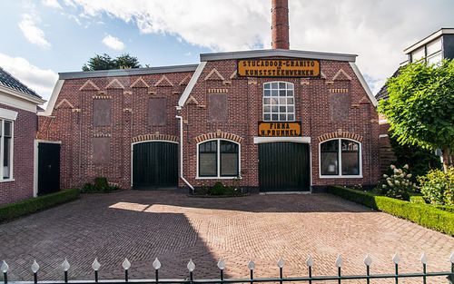
9665 RD Oude Pekela
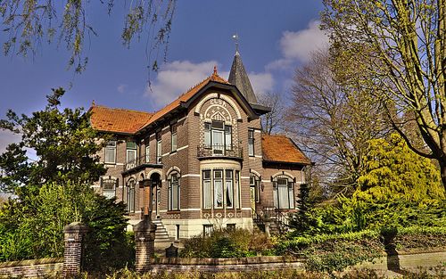
9663 SE Nieuwe Pekela
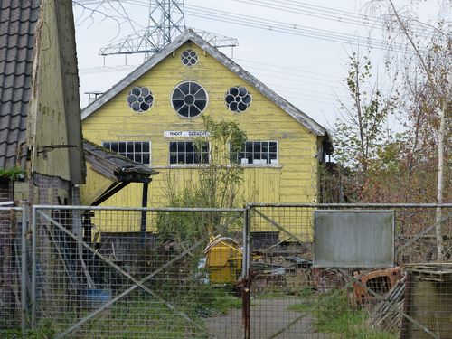
9649 AD Muntendam
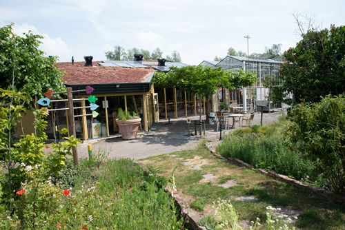
Attributes
Trip/route
- Marked: No
- Type of Route: Recreation
- Route characteristics: From A to A
