LF Kustroute
Balancing between the Wadden and the mainland
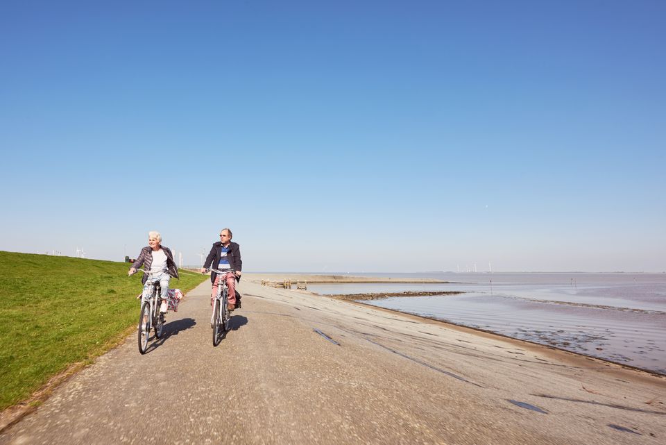
If it wasn’t for the dykes, the province of Groningen would be considerably smaller than it is now. Would this be why the sensible streak of Groningen residents is so clearly felt from the top of the seawall? The 610 kilometre-long LF Kustroute coastal route runs across and on both sides of the Dutch dyke, 90 kilometres through Groningen. Take in the stunning views during a bracing bicycle ride at the edge of the sea. All you need now is the wind at your back!
A seawall at delta height
The Ommelanderzeedijk sea wall runs from the village of Lauwersoog to Nieuwe Statenzijl. This is not the first dyke that was built to protect Groningen against the rising water. You will find long inner dykes further inland, which are older. Nonetheless, the sea wall is the highest. Stand on top of the dyke and tower above the mainly flat Groningen country. With the ever-changing Wadden Sea on one side and flat land on the other; with your feet on the pedals and the wind at your back… This is the very essence of a Groningen bicycle ride.
A stroll inland
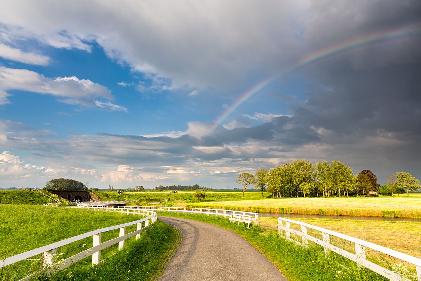
The LF Kustroute runs along the entire length of the Dutch coast and connects two beautiful scenic areas: the Lauwersmeer and the Dollard. It follows the top and both sides of the seawall. You’ll have stunning views no matter which side you choose to walk. It also allows a little detour inland every now and then, and each Toeristisch Overstap Punt along the route functions as a junction that connects to shorter and longer routes. Toeristisch Overstap Punten are recognised by four-metre-high beacons, so routes can be extended with other bicycle and hiking routes at ten locations. Information signs tell you all about the plants, animals and other places worth seeing.


